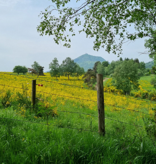
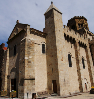
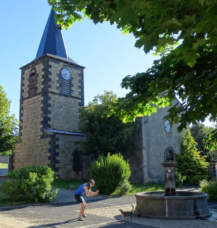
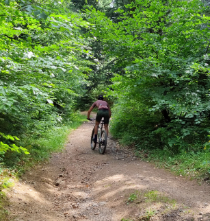
De la vallée de la Tiretaine aux sources de l’Artière à VTT
Opening dates and times
All year round.
Services and equipment
| Activities : | Cycling sports, Mountain biking itinerary |
|---|---|
| Daily duration : | 2h30 |
| Distance : | 15.5 km |
| Change in altitude (uphill) : | 452 m |
| Maximum altitude : | 927 m |
| type of itinerary : | BOUCLE |
| Marked itinerary : | Yes |
Prices
- Free access.