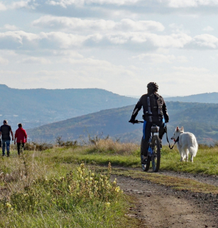
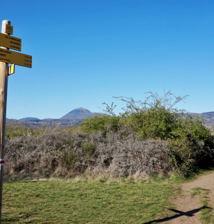
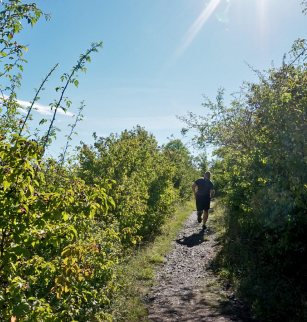
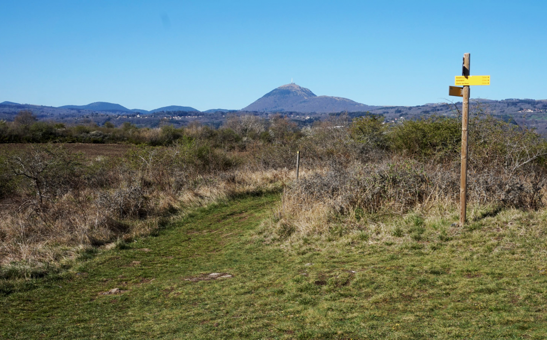
Parcours trail "Site des Côtes et puy de Chanturgue"
Opening dates and times
All year round.
Services and equipment
| Activities : | Hiking itinerary, Trail route, Pedestrian sports |
|---|---|
| Daily duration : | 1h30 |
| Distance : | 13.3 km |
| Change in altitude (uphill) : | 257 m |
| Maximum altitude : | 603 m |
| type of itinerary : | BOUCLE |
| Marked itinerary : | Yes |
Prices
- Free access.