- Pets allowed
On the way to the arkose
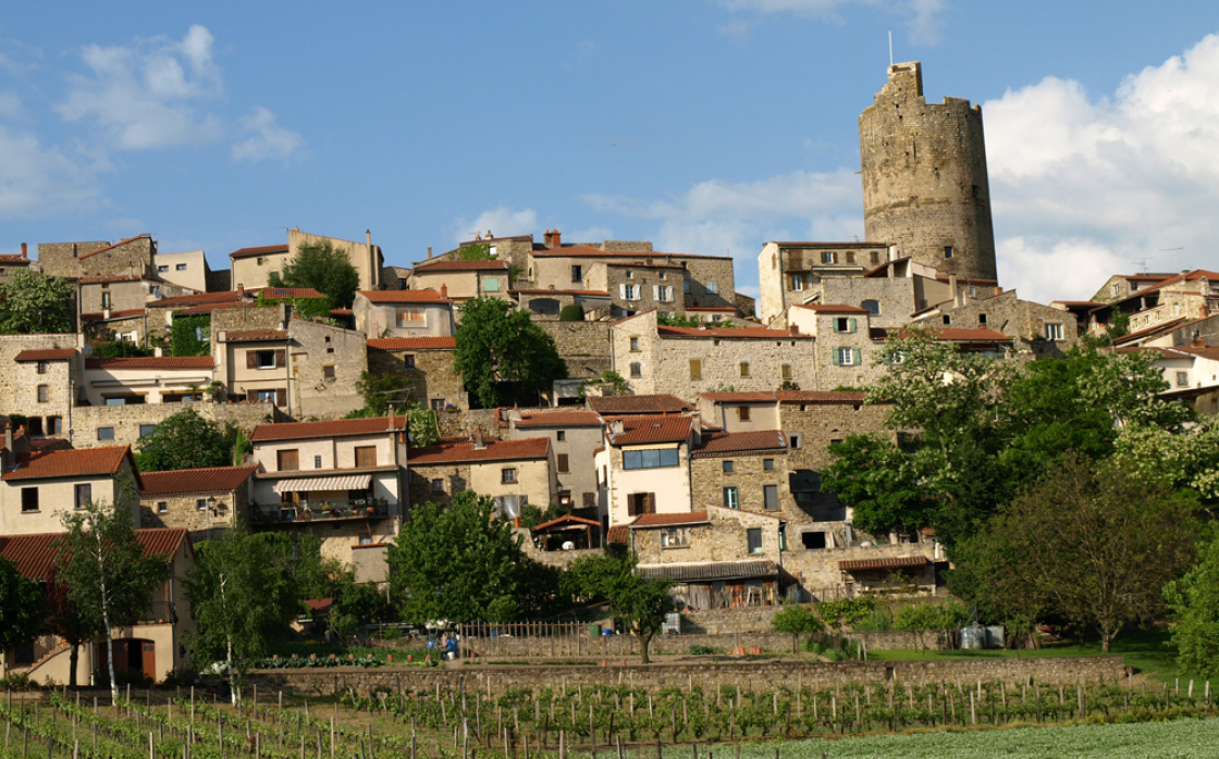

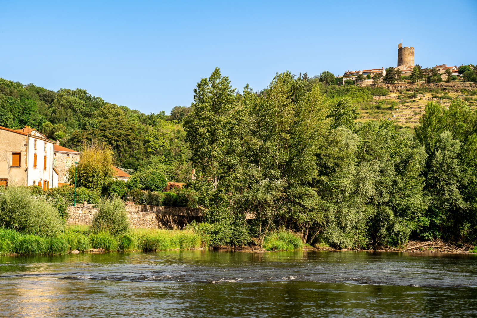
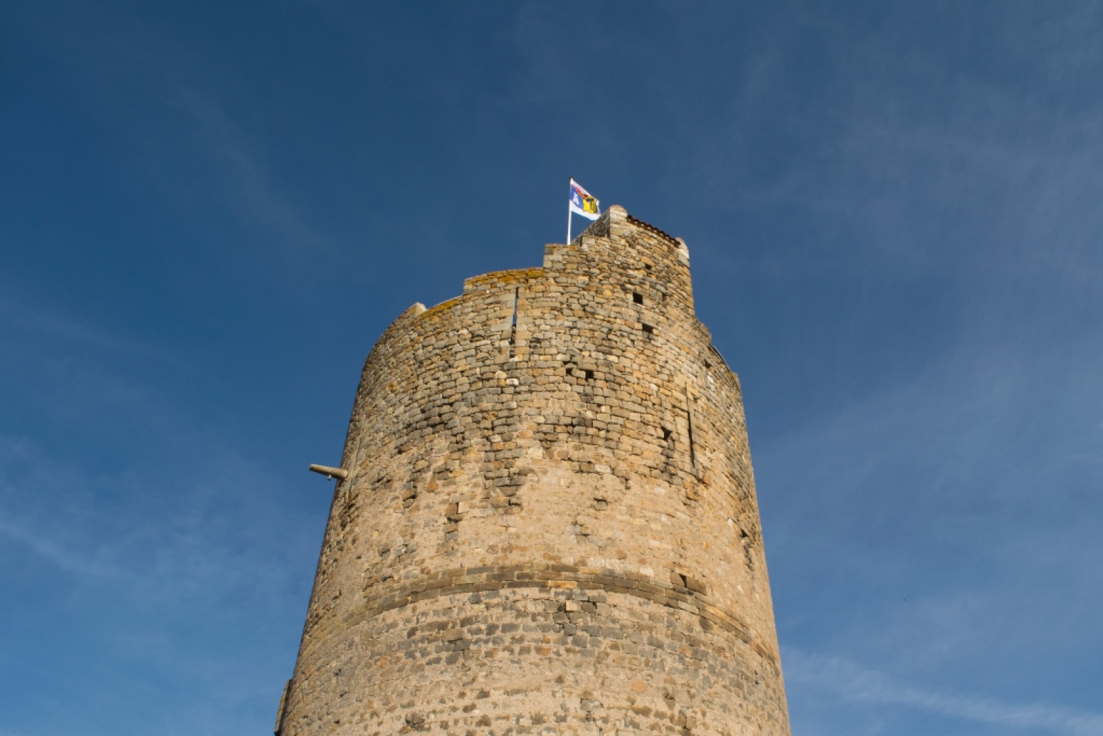

Overlooking the Allier and the couze Chambon near Coudes, this hike on the plateau allows us to visit the very beautiful village of Montpeyroux and to cross landscapes of pailhats reminiscent of the old winegrowing economy.
Starting point - From the starting panel, walk along the car park. At the educational farm, turn left and progress on the arkose outcrops (view of the Sancy massif and the Puys chain) until the beginning of the descent. Continue on this road until you reach an intersection at mid-slope.
1 - Turn right and go down immediately to the left until you reach a T-junction. Turn right and continue until you reach a wide flat path at the bottom of the descent. Take it to the left. At the next intersection go down to a road, cross it (access to Chadieu Castle, private site) and continue opposite until the first road on the right.
2 - Take it, barrier. Advance in the undergrowth along the banks of the Allier and leaving paths on either side. At the road, go down on the left and continue straight ahead until you reach the first houses of Coudes. Walk up to the level of a path going up to the right.
3 - Engage between hedges and fences, continue along gardens and then in the middle of houses until you reach the road.
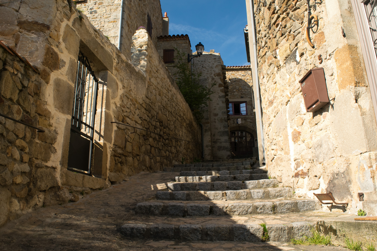
4 - Go up to the right by the Chemin du Cuel. Further to the right, take the Pailhas path (terraces). On the plateau, continue to the left, until you reach the road. Turn left for 100 m, then go up on a road opposite. At the cross, go up the steps and turn right to the Place de l'Église. Go down through the streets of la Quye and des Granges (panorama on the Sancy massif) to reach the entrance of the village (former arkose quarry) and the starting car park.
Opening dates and times
From 01/01 to 31/12.
Subject to favorable weather.
Services and equipment
| Pets allowed : | Les chiens doivent être obligatoirement tenus en laisse en raison de la présence de troupeaux. |
|---|---|
| Activities : | Pedestrian sports, Hiking itinerary |
| Daily duration : | 2h30 |
| Distance : | 8.5 km |
| Change in altitude (uphill) : | 210 m |
| Maximum altitude : | 490 m |
| type of itinerary : | BOUCLE |
| Marked itinerary : | Yes |
| Details about signage : | Yellow |
Prices
- Free access.
Contact for the route
Conseil départemental du Puy-de-Dôme - Mission Tourisme - Randonnée
Email : randopdipr@puy-de-dome.fr