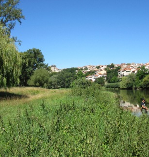
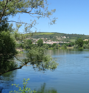
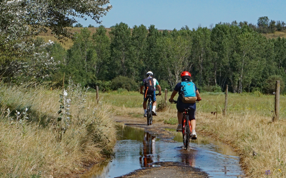
Les rives de l'Allier à VTT
Opening dates and times
All year round.
Services and equipment
| Activities : | Cycling sports, Mountain biking itinerary |
|---|---|
| Daily duration : | 2h00 |
| Distance : | 14.1 km |
| Change in altitude (uphill) : | 85 m |
| Maximum altitude : | 348 m |
| type of itinerary : | ALLER_ITINERANCE |
| Marked itinerary : | Yes |
Prices
- Free access.