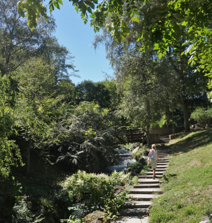
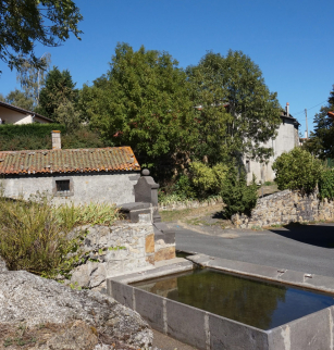
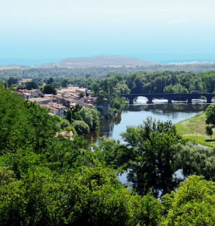
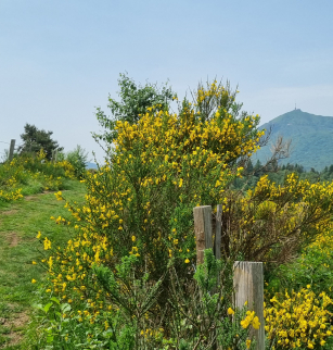
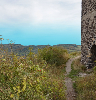
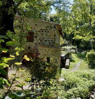
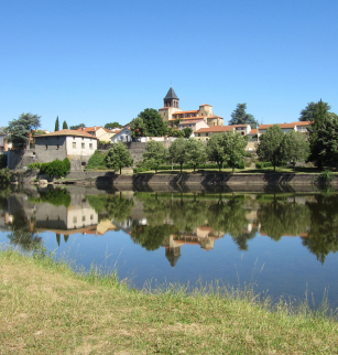
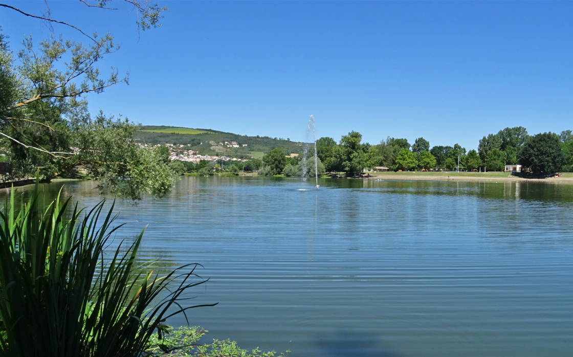
Entre les rives d'Allier et les buttes limagnaises
Opening dates and times
All year round.
Services and equipment
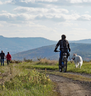
| Activities : | Pedestrian sports, Hiking itinerary |
|---|---|
| Daily duration : | 4h00 |
| Distance : | 11.9 km |
| Change in altitude (uphill) : | 227 m |
| Maximum altitude : | 505 m |
| type of itinerary : | BOUCLE |
| Marked itinerary : | Yes |
Prices
- Free access.